- Welcome
- Browse Digital Collections
- Browse Items
- About
- Exhibits
-
Finding Aids
- Prohibition Records
- Shenandoah National Park
- Chancery Records
- Land Records
- Tax and Fiscal Records
- Overseers of the Poor
- Board of School Commissioners
- Rockingham County Voter and Election Records
- Rockingham County Military and Pension Records
- Rockingham County Health and Medical Records
- Rockingham County Personal Documentation Records
- Rockingham County Criminal Court Records
- Help
Rappahannock County SNP Records: Court Proceedings
Dublin Core
Title
Rappahannock County SNP Records: Court Proceedings
Description
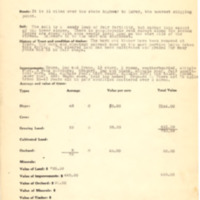
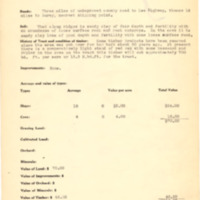
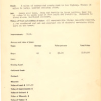
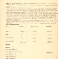
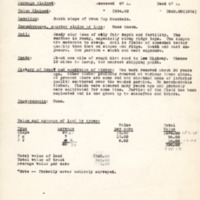
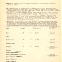
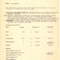
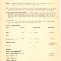
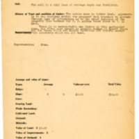
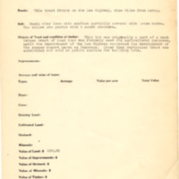
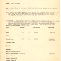
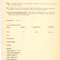
The first series in the Rappahannock County SNP Records collection consists of 350 files related to the court proceedings from The State Commission on Conservation and Development of the State of Virginia v. Clifton Aylor and others, and Thirty-Seven Thousand Four Hundred (37,400) Acres of Land, more or less, in Rappahannock County, Virginia. This was a court case initiated by the state of Virginia in order to acquire privately held land located within the boundary of Rappahannock County in the northern Blue Ridge Mountains. Within the boundaries of eight counties, the state of Virginia, in collaboration with the Federal government, used eminent domain condemnation, a process that involves the seizure of an individual's private property for public use, without the owner’s consent, but with payment of compensation to create the Shenandoah National Park. The documents in this collection are the legal proceedings for each individual tract of land that made up the one court case. In most cases, the individual case files consist of property surveys, assessments for the value of the land and improvements, and claims by the owner of the property.
Creator
Rappahannock County Circuit Courthouse
Publisher
JMU Libraries
Date
Bulk of the collection dates 1930 to 1934
Collection Items
Armentrout, Mrs. Ben
Tract: 119; Location: Beech Spring Hollow; Cost/Acre: $4.47; Estimate Value: $532.00; Number of Acres: 119.0; Monies Awarded: $1,166.00
Atkins, Ashby
Tract: 156; Location: Below Turnbridge; Cost/Acre: $30.00; Estimate Value: $500.00; Number of Acres: 3.0; Monies Awarded: $500.00
Atkins, Britton
Tract: 142 - A; Location: Scott Hollow; Cost/Acre: $23.18; Estimate Value: $1,855.00; Number of Acres: 80.0; Monies Awarded: $2,004.71
Atkins, Britton
Tract: 142; Location: Scott Hollow; Cost/Acre: $6.58; Estimate Value: $395.29; Number of Acres: 60.0; Monies Awarded: $395.29
Atkins, Burkett
Tract: 147; Location: Lee Highway at Turn Bridge; Cost/Acre: $19.46; Estimate Value: $1,421.09; Number of Acres: 73.0; Monies Awarded: $1,421.09
Atkins, Homer
Tract: 178; Location: East side of Oven Top Mountain; Cost/Acre: $5.30; Estimate Value: $116.00; Number of Acres: 22.0; Monies Awarded: $116.50
Atkins, JA
Tract: 176; Location: East slope of Oven Top Mountain; Cost/Acre: $3.00; Estimate Value: $120.00; Number of Acres: 40.0; Monies Awarded: $160.00
Atkins, Jack
Tract: 198; Location: East side of Beech Spring Road; Cost/Acre: $7.17; Estimate Value: $1,777.00; Number of Acres: 225.4; Monies Awarded: $1,631.20
Atkins, Jeremiah
Tract: 253; Location: 3-1/2 miles above Sperryville on Lee Highway; Cost/Acre: $28.06; Estimate Value: $1,403.00; Number of Acres: 306.5; Monies Awarded: $5,917.78
Atkins, Jeremiah
Tract: 161 - A; Location: South slope of Oven Top Mountain; Cost/Acre: $13.51; Estimate Value: $1,905.00; Number of Acres: 141.0; Monies Awarded: $2,488.00
Atkins, Jeremiah
Tract: 161; Location: South slope of Oven Top Mountain ; Cost/Acre: $4.10; Estimate Value: $275.00; Number of Acres: 67.0; Monies Awarded: $275.00
Atkins, John H
Tract: 150; Location: South slope of Oven Top Mountain; Cost/Acre: $9.10; Estimate Value: $764.00; Number of Acres: 84.0; Monies Awarded: $800.00
Atkins, Jonas M
Tract: 175; Location: Thornton River 3 miles above Sperryville; Cost/Acre: $31.21; Estimate Value: $1,592.00; Number of Acres: 51.0; Monies Awarded: $1,592.00
Atkins, Joseph
Tract: 267 - A; Location: South side of Lee Highway 2.5 miles from Sperryville; Cost/Acre: $4.67; Estimate Value: $9.00; Number of Acres: 3.0; Monies Awarded: $64.00
Atkins, Joseph
Tract: 267; Location: South side of Lee Highway 3 miles from Sperryville; Cost/Acre: $7.00; Estimate Value: $20.00; Number of Acres: 10.0; Monies Awarded: $80.00
Atkins, JP
Tract: 82; Location: South side Pignut Mountain ; Cost/Acre: $44.38; Estimate Value: $577.00; Number of Acres: 13.0; Monies Awarded: $ (n/a)
Atkins, JP
Tract: 270; Location: South slope of Oven Top Mountain; Cost/Acre: $5.00; Estimate Value: $10.00; Number of Acres: 2.0; Monies Awarded: $10.00
Atkins, JW
Tract: 164 B; Location: 1.5 miles from Beahm Va- near Panorama; Cost/Acre: $92.70; Estimate Value: $835.00; Number of Acres: 835.0; Monies Awarded: $1,500.00
Atkins, JW
Tract: 164; Location: 1/2 mile South of Panorama; Cost/Acre: $2.50; Estimate Value: $75.00; Number of Acres: 40.0; Monies Awarded: $115.50
Atkins, JW and Ramey, JW
Tract: 167; Location: North ridge at Panorama-side of Lee Highway east of top of ; Cost/Acre: $ (n/a); Estimate Value: $160.00; Number of Acres: (n/a); Monies Awarded: $150.00
